01
Before 1944 and now
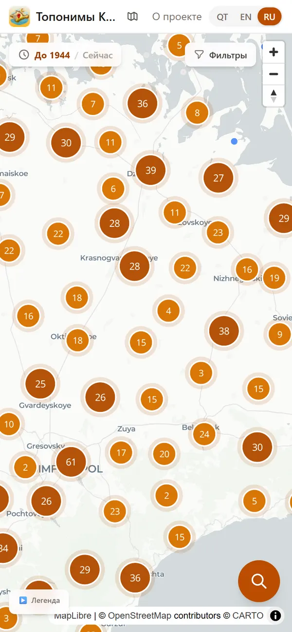
Thousands of points across the peninsula. The “Before 1944 / Now” switch changes the labels on the map.
 Community
Old Crimean Tatar names next to today’s. A map and search in Crimean Tatar, Russian and English, so that a place’s name doesn’t disappear along with its sign.
An interactive map of Crimea where old Crimean Tatar names stand next to today’s. You can see what a village was called before 1944, when and by which decree it was renamed, and what the old name means.
The database has 2,032 place names from 10 sources, almost all with coordinates. Each name comes with the type of place and district, the historical name in Latin and Cyrillic script, variants in other languages, etymology, the renaming history with decree number and date, sources and a reliability rating.
The map and search work in Crimean Tatar, Russian and English. Labels can be switched: Crimean Tatar, Russian or both at once. There is a breakdown by 14 districts and 11 urban districts and a dialect map. The data is open and can be downloaded for research.
Old and current names on one map.
In Crimean Tatar, Russian and English.
With the history of each name.
Thousands of points across the peninsula. The “Before 1944 / Now” switch changes the labels on the map.
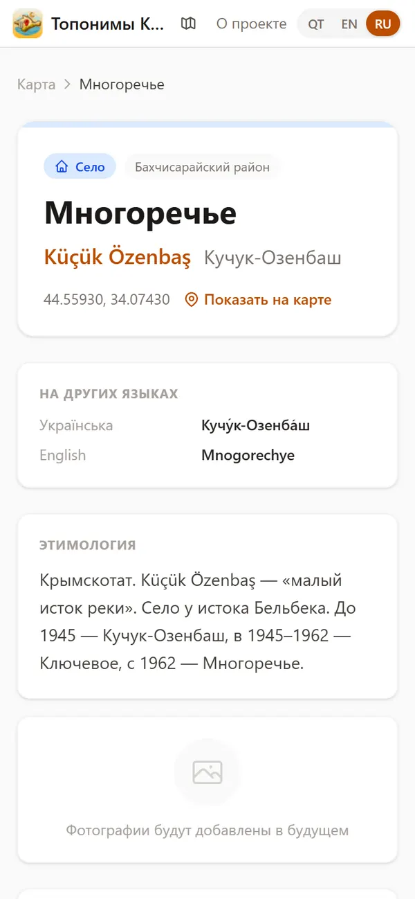
Current and historical name, etymology and renaming history. For example, Küçük Özenbaş (“small source of the river”) became Kuchuk-Ozenbash in 1945 and Mnogorechye in 1962.
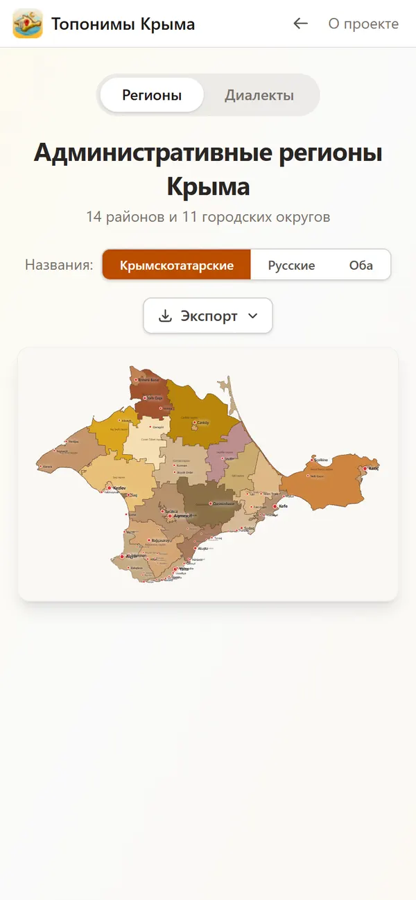
14 districts and 11 urban districts with Crimean Tatar and Russian names. A separate tab shows how dialects were spread before 1944.
Who makes it: An Ana Yurt initiative.
Found a mistake? Write to us and we will fix it in the next update.
selam@ocaq.ru